
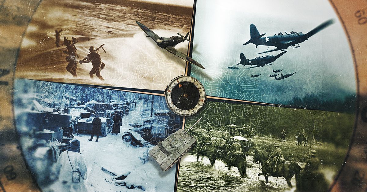
Few conflicts in modern history were shaped as profoundly by physical terrain as the Second World War. The Geography of War: World War II arrives on Viasat History with a compelling lens – stripping away political maps to reveal the rivers, mountain ranges, deserts, and coastlines that quietly determined the fate of armies and nations. Season 1 invites viewers to reconsider everything they thought they knew about WWII by asking a deceptively simple question: what lay beneath the battle lines?
How Terrain Shaped the War’s Most Decisive Campaigns
Military historians have long understood that geography is not merely backdrop – it is a combatant. The vast Russian steppe, for instance, offered Wehrmacht commanders the illusion of open conquest while concealing brutal logistical realities. Supply lines stretched impossibly thin across hundreds of kilometres of frozen earth, a factor as decisive as any Soviet division. The series makes this tangible, revealing how topography constrained strategic choices that textbooks often attribute solely to human error or political miscalculation.
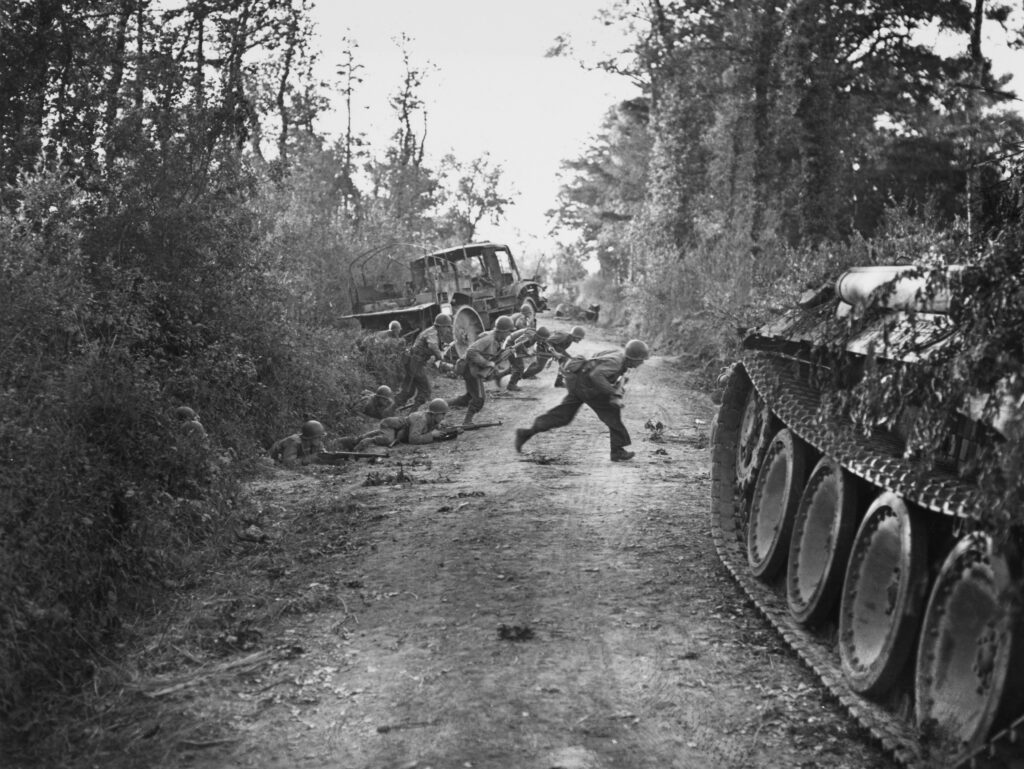
The Pacific: Islands as Fortresses and Traps
In the Pacific theatre, geography dictated everything. The volcanic topography of Iwo Jima transformed a relatively small island into a killing ground where 21,000 Japanese defenders exploited a labyrinth of underground tunnels carved directly into sulfuric rock. Planners in Washington read maps; the soldiers who landed encountered something far more ancient and indifferent. The show renders these connections with clarity, connecting elevation, soil composition, and coastal approach angles to casualty figures that still stagger the imagination.
The Alps, the Sahara, and the Logic of Natural Barriers
From the North African desert – where Rommel’s manoeuvrability was ultimately strangled by supply routes dependent on Mediterranean sea lanes – to the Alpine crossings that shaped Italy’s agonisingly slow liberation, the series demonstrates that natural barriers functioned as strategic weapons. Neither side chose the terrain; both were forced to negotiate it. This reframing is one of the show’s most intellectually satisfying contributions to WWII documentary coverage.
What This Approach Reveals That Traditional Histories Miss
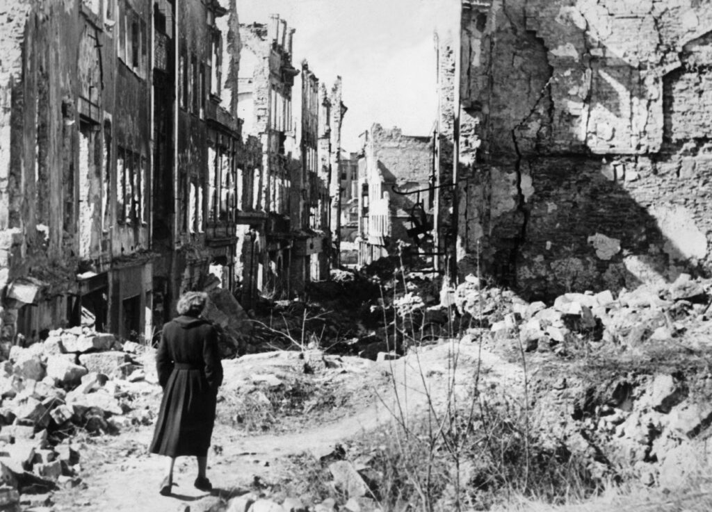
Conventional WWII narratives prioritise commanders, ideology, and industrial output. By foregrounding geography, the series recovers something essential: the war as it was physically experienced by ordinary soldiers moving through real, demanding landscapes. Mud, altitude, heat, and flood were not incidental – they were operational. This perspective aligns closely with recent scholarly trends emphasising environmental history as central to understanding modern conflict.
Where to Watch
- Episode Premieres:
- Monday to Thursday
- 12 October 2026 to 15 October 2026
- 21:00 CET
- See the full TV schedule
FAQ: Geography and World War II
Q: Does the series cover all major theatres of the war?
A: Based on its approach, the show examines multiple theatres – European, Pacific, and North African – using each to illustrate how specific geographical features influenced military strategy, troop movement, and ultimately the outcome of individual campaigns.
Q: Is this series suitable for viewers new to WWII history?
A: Absolutely. While the geographical framework offers fresh insight for seasoned enthusiasts, the clear narrative structure and visual approach make it accessible to anyone curious about how landscape shaped one of history’s most consequential conflicts.